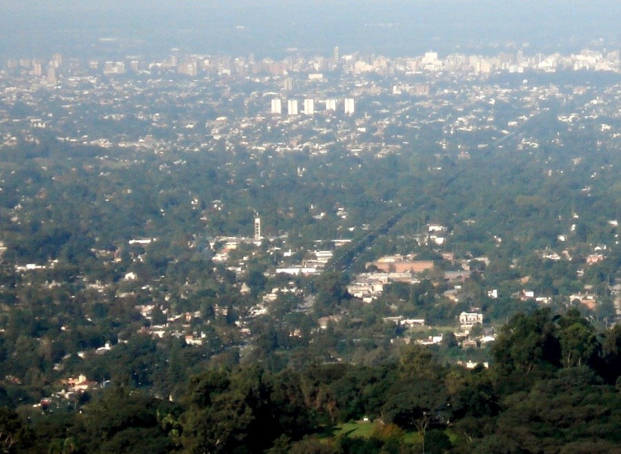
Yerba Buena lies west of San Miguel de Tucumán beside the foothills leading toward the Sierra de San Javier. That position combines urban services with nature activities, but it does not make every outing equivalent. An avenue walk, an interpreted visit, and a forest trail have different requirements. Choosing what you actually want to do helps make use of the location without improvising the entire afternoon.
Locate the starting point
The municipal tourist map shows the relationship among the urban area, Horco Molle, and approaches to the hills. Before choosing accommodation or a meeting point, examine the actual distances. A description such as “near the hill” may cover locations separated from one another. Without a vehicle, confirm how to reach the activity’s starting point and how to return. An available outward ride may appear to solve transportation, while a return from another location still needs checking. It helps to ask about both directions in the same conversation.
An interpreted visit at Horco Molle
The Reserva Experimental Horco Molle, associated with the National University of Tucumán, offers interpretation of foothill plants and animals. Its program introduces conservation through an organized visit, which differs from entering the forest independently. Check the current format, duration, and access arrangements. Animals present at an institution of this kind should not be treated as a promise of seeing the same species on any wild walk. Explanations of their origin and management are an important part of the experience, rather than details to skip while moving between enclosures or displays.
Choose an appropriately sized outing
If you prefer a hill walk, select an authorized trail with adequate information about elevation change and ground conditions. Proximity to a city does not remove mud, navigation difficulties, or changing weather. An app showing many tracks cannot by itself distinguish public access from restricted routes. It is equally reasonable to choose a shorter nature visit and spend the rest of the day in Yerba Buena. That combination lets you appreciate the meeting of city and slope without turning an available afternoon into a much longer excursion than the group originally intended.