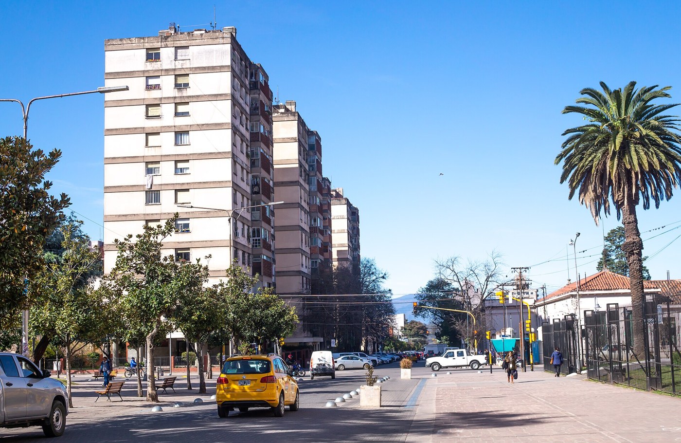

To understand San Salvador de Jujuy, begin with its edges. The center developed between the Río Grande and Xibi Xibi, a position that still helps visitors navigate. The provincial capital does not share the same setting as the higher towns of the Quebrada de Humahuaca. Its streets, bridges, and green spaces offer a different introduction to Jujuy, with activities that can be combined without turning the day into a long road excursion.
History around the square
Plaza Belgrano provides a starting point for buildings associated with provincial history. The cathedral, Cabildo, and Government House feature on the municipal historic circuit. Before entering, establish which buildings offer visits and which areas are accessible. An administrative building does not necessarily operate like a museum with continuous public access. Choose a question to guide the walk, such as how provincial history is represented in public spaces. Reading a plaque and comparing it with a museum explanation may reveal more than photographing every facade along the square.
A river within the city
Parque Xibi Xibi offers a change of scale. Water and riverside vegetation coexist with bridges, streets, and urban activity. The municipality has developed biodiversity interpretation in the park, so watching birds or reading its informational displays does not require leaving town. A riverside park, however, is not automatically a swimming area. Stay within designated public spaces and pay attention to instructions following rain. If an entrance is closed, do not seek another way down to the riverbed. The contrast between the watercourse and surrounding city is interesting from established paths too.
Connect the two walks
To connect these two environments, first check distances from your accommodation and decide where the walk will end. A route that looks short on a map may be less comfortable with luggage, hot weather, or major street crossings. Build in a break and handle onward transportation arrangements at another point in the day. The provincial airport is outside the city center, so a flight requires a separate transfer plan. With that margin, the capital can become a destination in its own right rather than simply the place where a northbound journey begins.