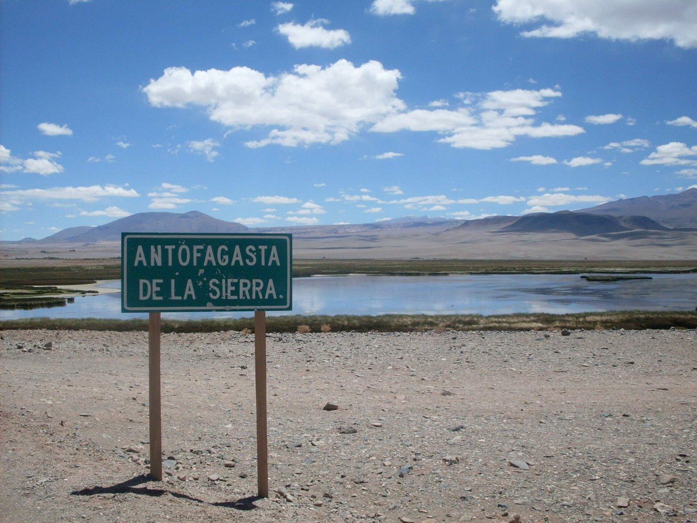

Antofagasta de la Sierra lies in Catamarca’s Puna, more than three thousand meters above sea level. Its name often accompanies photographs of volcanoes, salt flats, and immense open spaces. That scale is part of both the appeal and the planning. Attractions are not gathered around one entrance, and sleeping in town does not remove the journeys needed to reach them. A useful stay begins by choosing the landscape or subject that interests you most before filling the schedule with every available name.
Choose between bases
El Peñón and Antofagasta de la Sierra appear as bases for different outings. They are not identical choices and should not be compared solely by room price. Check where each excursion starts, where it ends, and how much travel your accommodation adds. If Campo de Piedra Pómez is the priority, its principal approach from El Peñón may influence the decision. Other activities may have different arrangements. Request an itinerary with concrete locations rather than a description combining all the region’s attractions. The right base depends on the actual trip, not a general claim that everything can be visited from anywhere.
Observe geology without overrunning it
Volcanic terrain can be observed at several scales. A broad view reveals relationships between raised landforms and plains; geological interpretation helps distinguish materials that look similar from a distance. You do not need to walk over every formation to understand it. On fragile ground, following authorized access protects both the site and opportunities to interpret it. Vehicle tracks do not prove a route is public, safe, or permitted. On salt flats and remote terrain, an authorized guide’s experience and an appropriate vehicle belong to the outing itself rather than being interchangeable details.
A long human history
Human history deserves room alongside geology. Places such as Campo de las Tobas preserve rock art, evidence of long occupation of the territory. A visit requires access arrangements and interpretation; searching for engravings independently from an imprecise coordinate is inappropriate. Panels should not be touched, wetted, or outlined to make a photograph clearer. Asking how they are studied and what is known about their context offers more than trying to decode every figure through a modern resemblance. The setting around an engraving can matter as much as the visible mark.
Settle logistics before departure
Logistics should be settled before each excursion. Confirm food, water, fuel, communications, and return time according to the booked service. A connection available at accommodation may not continue throughout the route. Leave an informed person aware of the agreed plan, and avoid changing destinations without telling the provider or accommodation. If weather or access conditions cancel an activity, a nearby alternative may be better than replacing it at the last minute with another equally demanding outing. A buffer also prevents a delayed excursion from jeopardizing the next fixed transportation booking.
Give the settlement time
Make time for the settlement itself too. A meal, conversation, or short walk helps reveal that the Puna is not an empty space between geological wonders. Everyday life connects with water, animals, work, and roads. Scheduling a less crowded day creates opportunities to notice those relationships and rest between excursions. The journey becomes more coherent when long distances are accepted as a condition of the place rather than something to defeat by filling every available hour.