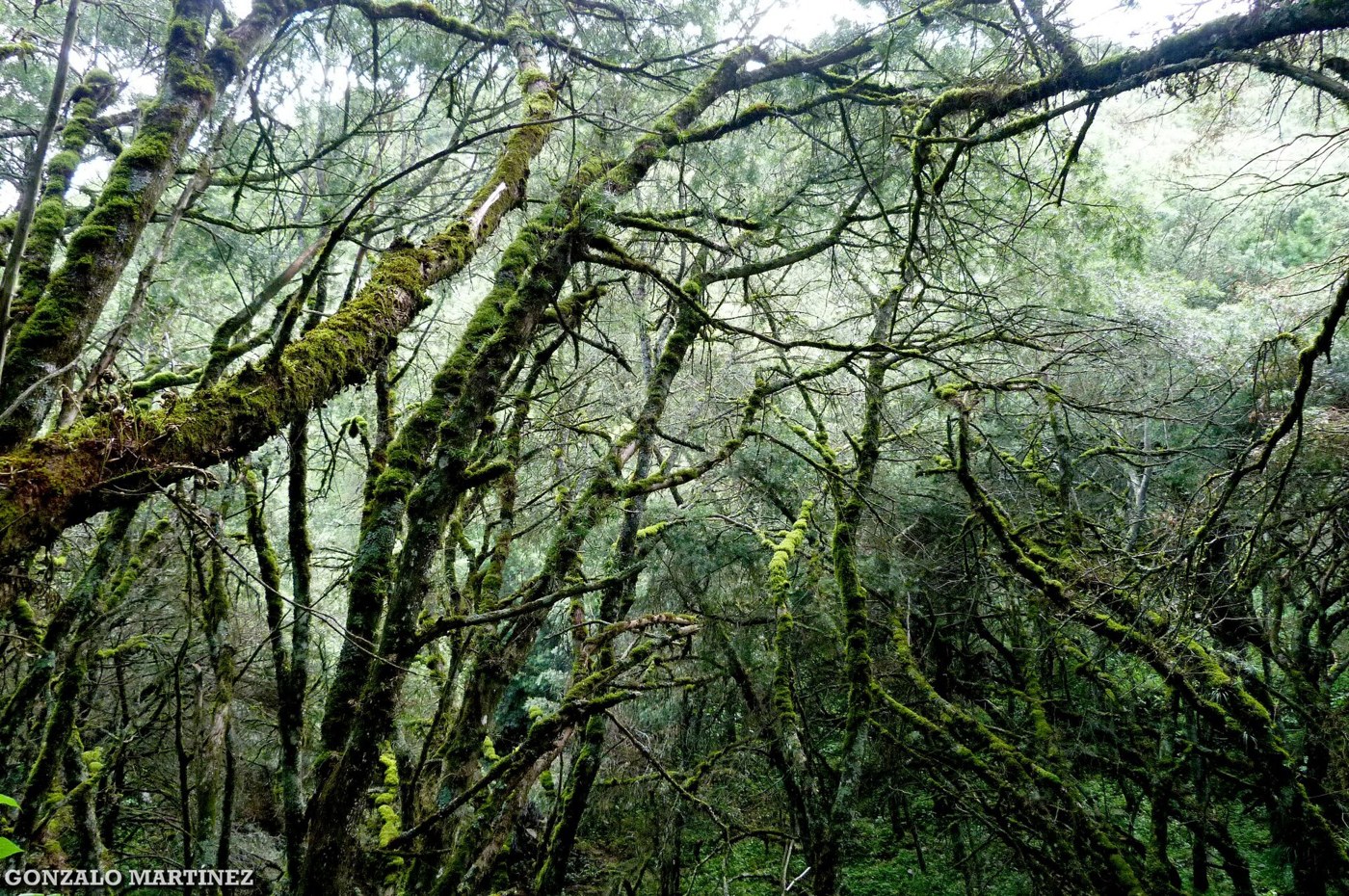

Northwestern Argentina is often pictured through colorful hills and dry roads. The Yungas broaden that image with mountain forests on the eastern Andean slopes. They are not an isolated green corner inside an otherwise uniform region, but an ecoregion with its own relationships between terrain, water, and vegetation. Comparing them with dry valleys helps with planning and reveals how different environments can coexist within a single province. Administrative borders explain less about this contrast than the shape and orientation of the mountains through which a route passes.
Water within the landscape
National Parks emphasizes the role of the Yungas in regulating water in the northwest. Vegetation is more than green decoration: it belongs to a system connecting rainfall, soils, and waterways. A visitor can begin observing that complexity without taking measurements. Notice the cover above a trail, the dampness of the ground, and changes between open and enclosed spaces. Forest seen from a road and woodland explored on foot create different impressions because they reveal different scales. Neither view is complete, but each can help explain the other.
Changing the scale of observation
In dry environments, the spacing between plants and the exposure of landforms often encourage a broad view. On a Yungas trail, visibility may be shorter and clues appear differently: a moving branch, a texture on a trunk, or a sound that cannot be matched to a visible animal. This changes expectations. The absence of a sweeping panorama around every bend does not make the walk less interesting. Pausing to listen may reveal more than continuing to search for a clearing from which to photograph the horizon.
Avoiding an overly simple comparison
The comparison should not be reduced to forest versus cacti either. The official description of the Monte de Sierras y Bolsones includes shrublands and areas with trees where water is available. Meanwhile, Yungas vegetation does not have an identical structure at every elevation. Categories provide orientation without erasing transitions or local variation. A useful exercise is to record what actually changes between two stops: plant density, vegetation height, shade, and the relationship with watercourses. You can then look for an explanation instead of forcing observations into a label chosen in advance.
Matching the route to the environment
For visitors, damp ground creates different demands from a stop at a dry viewpoint. Trail condition, water crossings, and temporary closures matter more than the distance on a sign. Consulting the protected area helps identify an appropriate route and prevents a service track from being mistaken for an authorized walk. Wildlife observation also takes a different form. Keeping quiet, avoiding recorded calls to attract animals, and accepting that many species remain hidden protects the shared experience and reduces disturbance. The objective is to notice what is present without requiring animals to perform for visitors.
Each park has its own visit
Calilegua, El Rey, and Baritú protect examples of Yungas, but their access arrangements and visitor experiences are not equivalent. Choosing one requires reading its specific information instead of transferring assumptions from another park. For an introduction, look for an authorized trail with interpretation and enough time to walk slowly. Comparison with dry valleys becomes richer when it rests on concrete observations, rather than a claim that one environment is more authentic or more representative of northern Argentina than the other.