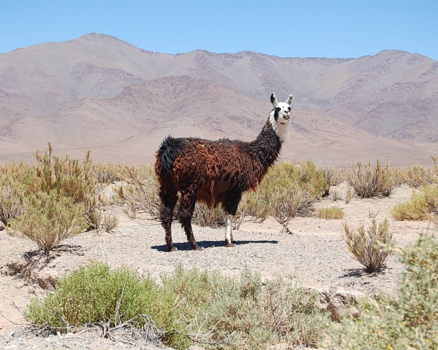

The Puna is not simply the driest stretch of a northwestern Argentina itinerary. It is a high elevation environment where the scale of the terrain, the distribution of water, and the distance between services alter the way a journey works. A photograph can place a salt flat, a road, and mountains inside one small frame; crossing that space takes far longer than the image suggests. Understanding that difference makes room for a less hurried visit and, more importantly, for observations beyond the initial impression of enormous open space.
A mosaic of environments
The National Parks description identifies a plateau with salt flats, shallow lakes, and low shrub vegetation. These features are not distributed evenly. Open ground may give way to a depression containing water, while a slope can support different plants from those found on a basin floor. It helps to abandon the idea of an unchanging desert. Comparing surfaces, gradients, and evidence of moisture turns a transfer into an opportunity to read the landscape, even when there is no named attraction or designated photograph stop at every turn.
Water concentrates attention
Lakes deserve particular attention because they concentrate life in a region that can appear sparsely inhabited by wildlife from a distance. They are more than patches of color in a photograph: they function as habitat, and their conditions change. The visible waterline does not establish how close visitors may approach. Spending time at an authorized observation point farther away often reveals more than an approach that pushes birds elsewhere. Distinguish a lake from a salt flat as well, and do not assume that every pale surface is solid ground suitable for walking or driving.
An inhabited territory
Villages, grazing activity, working roads, and cultural sites challenge another misleading image: an empty space available for any route a traveler chooses. The absence of a fence does not establish unrestricted access. When arranging a visit, ask who manages entry and which areas may be explored. Decisions made by communities and landholders form part of the conditions of travel. Listening to that information adds context; it is not merely an administrative interruption of an experience imagined to be entirely about nature and scenery.
Altitude belongs to the itinerary
Altitude requires looking at the whole itinerary rather than only the elevation of the final stop. Changing accommodation, crossing a high pass, and adding a walk on the same day are decisions with cumulative demands. A sensible plan leaves room to rest, adjust activities, and seek appropriate assistance if difficulties arise. Individual health recommendations belong with qualified professionals; a travel article cannot predict how every visitor will respond. Arriving in a vehicle should not be taken as evidence that a high elevation visit places no demands on the traveler.
Choosing before adding distance
To choose a route, establish where you will sleep, which outing is confirmed, and how fuel, food, and communication will be handled. Then decide which environment you want to understand: a wetland, a volcanic landscape, or a particular settlement. This sequence avoids assembling destinations from their appearance online without considering the journey between them. The Puna rewards sustained attention to small differences within a huge setting. Giving one place more time can reveal connections between water, vegetation, and human use that disappear when each day is designed primarily to cover more distance than the last.