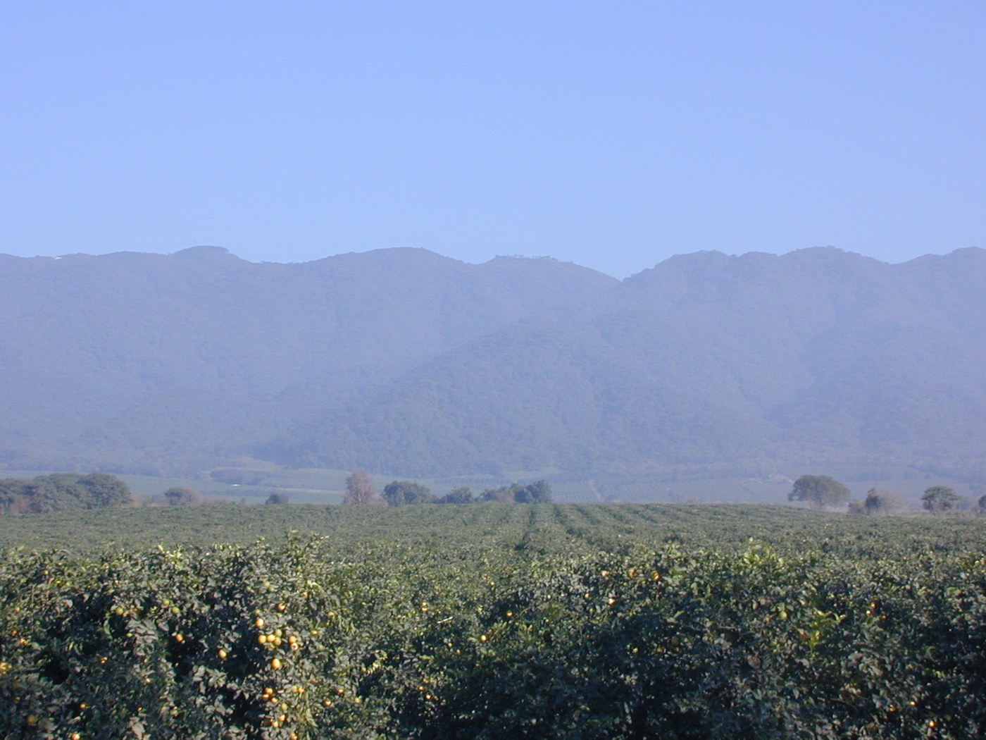
From Tucumán's urban surroundings, the Sierra de San Javier can look like one continuous green wall. At closer range, that impression separates into slopes, ravines, forest edges, and open ground. Sierra de San Javier Park, administered by the National University of Tucumán, conserves a substantial part of the range. Its proximity to the city makes relationships among natural environments, research, recreation, and changes in land use particularly visible.
A mosaic of environments
The university describes several vegetation zones, from foothill environments to higher woodland and grassland. These are not bands painted at exactly the same elevation on every slope. Exposure and moisture also influence their distribution. Two nearby hillsides can therefore look different, and one short outing cannot represent the full environmental diversity of the range.
Cloud cover plays an important role in these environments. Seeing the range simply as a collection of trees misses relationships among atmosphere, soil, and water. Vegetation and slopes form parts of catchments connected to inhabited areas downstream. From a trail, this relationship can be considered by following the direction of a small drainage line, without leaving the route or entering the channel.
Greenery has a history too
There is history within the greenery too. Horco Molle Botanical Garden, at the eastern foot of the range, describes land transformed in the past alongside vegetation now recovering. Secondary forest is not a less interesting backdrop: it offers a way to consider how plants reestablish themselves and how previous uses continue to shape the present landscape.
The institution also identifies invasive introduced plants, including glossy privet. This corrects a common assumption: a densely green hillside does not necessarily consist entirely of native vegetation. Use interpretation material or local guidance to distinguish species. Do not collect leaves for later comparison, and avoid treating an automatic identification as a definitive conclusion.
An outing with a question
You can organize the outing around a specific question. Notice where the canopy opens, how light reaches the ground, or what changes between a roadside edge and an accessible forest interior. Such observations do not require naming every organism. Record the location and conditions of the visit; a comparison in another season will be more meaningful when that context has been preserved.
The park, botanical garden, and Horco Molle reserve are related references, but their entrances and visitor programs should not be assumed to be interchangeable. Choose which place you want to visit and consult its current instructions. A road to a viewpoint, a university trail, and an educational activity may call for different preparations. Being close to a city does not remove steep ground, mud, or changing weather.
Bring back something beyond a panorama. A note about recovering vegetation, a question about the catchment, or a comparison between slopes turns the outing into a way of reading the landscape. San Javier helps show that a forest near a city does not simply begin where people disappear: its conservation also depends on how its edges are used and cared for. That makes the transition between streets and wooded ground part of the visit, rather than an unimportant stretch to pass through.