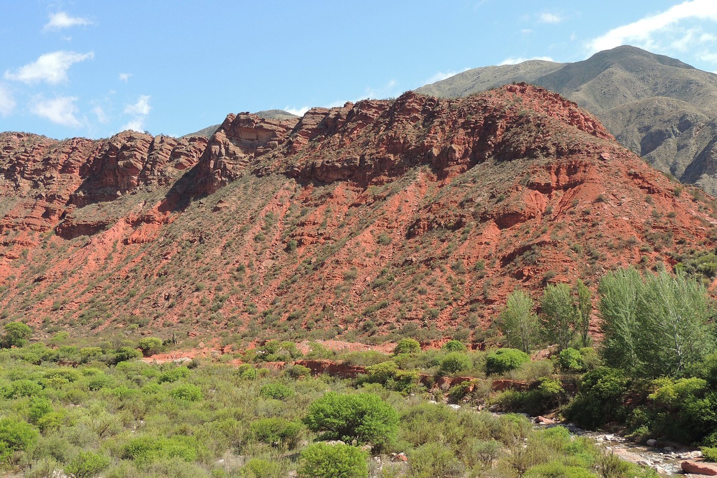

Cuesta de Miranda forms part of the National Route 40 connection between the Chilecito area and Villa Unión. Its name often accompanies photographs of bends across reddish slopes, but the place's interest extends beyond the road. Looking at the river's position, vegetation, and structures supporting the route reveals an encounter between terrain and movement.
From the map to the slope
Provincial information places the route in the southern foothills of Famatina toward the Sañogasta ranges. In an overview, try distinguishing the large forms before seeking details: ridges, valleys, and the slopes crossed by the road. The satellite image discussed by CONAE provides another scale for relating the route to the terrain.
A map flattens those forms. Two apparently nearby points may be separated by terrain that requires several changes of direction. Looking at the map again after traveling a section, the bends become less arbitrary. They begin to express one way of crossing the mountains.
Reds, greens, and shadows
The contrast between exposed rock, vegetation, and the surroundings of the Miranda River is a visible feature of the journey. Enjoying it does not require assigning every tone to a mineral. Observed color also depends on light, shade, and how a surface presents its faces to the viewer.
At a permitted stopping place, compare a sunlit slope with one in shade and notice where vegetation is concentrated. This can open questions about water and exposure without turning an impression into a geological conclusion. To identify materials, seek specialized local information rather than inferring composition solely from a photograph's color.
Engineering tells a story too
Documentation from the Asociación Argentina de Carreteras describes the transformation of an older, narrow alignment with masonry structures through later road works. That history explains why photographs and accounts from different periods may show different roads under the same name.
Observe walls, cuttings, and bridges from authorized spaces without stopping where traffic is obstructed. They solve particular terrain problems rather than merely interrupting a natural view. They also show that a road is infrastructure used by residents and transportation services as well as visitors.
Use historical information carefully
An older description can help explain the landscape without confirming the road's current condition. Check with the road authority before departure and plan for the complete journey, not only its scenic section. Length figures may refer to different sections; check starting and ending points before comparing them.
Choose stops for their authorized access and what you want to observe. There is no need to stop at every bend to recognize the place's character. An attentive look at the river, terrain, and a piece of road engineering may provide more context than several hurried photographs.